![]() Inside
the Eye
Inside
the Eye ![]()
Russ' Automated Web Weather Station & Skycam
Russ' Automated Weather Underground Data & Graphs
Virginia Hourly Weather Roundup - NWS
Washington Dulles Int'l Airport
Delaware Hourly Weather Roundup - NWS
Maryland Hourly Weather Roundup - NWS
Wisconsin Hourly Weather Roundup - NWS
US Surface Conditions - NWS
US Surface Analysis - NCEP
US Current Surface Conditions Map - WSI
US Surface Temperature Map
US 24hr Surface Temperature Change Map
US Surface Heat Index Map
US Current Dew Points
US Surface Winds
US Surface Wind Chill Map
US Surface Pressure Map
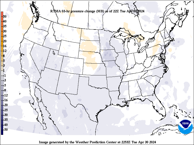
US 3hr Surface Pressure Change Map
US Jet Stream Position
US Snow Depths
US Drought Severity Map
Day/Night Line World Map
Weather Models
Intellicast:
Washington, DC NEXRAD, Loop
Mid-Atlantic Radar, Loop
Mid-Atlantic Radar SummaryJava Radar
National Radar, Loop
National Radar Summary
National Doppler Radar SitesAccuWeather:
Washington, DC / Baltimore, MD Radar, Loop
Mid-Atlantic Radar, Loop
Northeast U.S. Radar, Loop
National Radar, Loop
National Weather Service:
Mid-Atlantic Short Range Base Relectivity, Loop, Enhanced, Enhanced Loop
Mid-Atlantic Long Range Base Reflectivity, Loop, Enhanced, Enhanced Loop
Mid-Atlantic Short Range Composite Relectivity, Loop, Enhanced, Enhanced Loop
Mid-Atlantic 1 Hour Rainfall Total (estimated), Loop
Mid-Atlantic Storm Total Rainfall (estimated), Loop
National Base Reflectivity, Loop
US GOES8 IR (400K)
US GOES8 VIS (700K) SSEC Geostationary Satellite Site
'Real-Time' Satellite Images/Loops
'Real-Time' Satellite Images/Loops [alternate site]
US IR - TWC
US VIS - TWC
Mid-Atlantic GOES8 VIS, Small Image Loop, Large Image Loop
Mid-Atlantic GOES8 VIS, Small Image Loop, Large Image Loop [alternate site]
Mid-Atlantic GOES8 IR, Small Image Loop, Large Image Loop
Mid-Atlantic GOES8 IR, Small Image Loop, Large Image loop [alternate site]
Northeast U.S. - TWC
Baltimore/Washington Local Forecast - NWS
NorthEast US Pick a County Forecast
Dulles Predicted Meteogram
Bethany Beach, DE Bethany Water conditions
Brodhead, WI
Madison, WI
US 6-10 Day Outlook
US 8-14 Day Outlook
Sunshine Forecast
National Snow Forecast
Temperature Forecast
NWS UV Index Forecast
NWS Travel Forecasts
Today's Probability Map for Severe Weather
Tomorrow's Probability Map for Severe Weather
Hazardous Outlook for DC Metro Region
US Thunderstorm Forecast MapUS Watches & Warnings Map
Mid-Atlantic Watches & Warnings
Washington, DC Metro Area Watches & Warnings, Alternate
Mid-Atlantic Storm Tracker
Washington, DC Metro Area Storm TrackerNational Warnings by Category
National Lightning Strikes, Alternate
NWS Special Weather Statements
Local Storm Reports
Current
Month Climatological Summary for Dulles Airport
Monthly
Climatological Summary Archive for Dulles Airport
Monthly
Climatological Norms and Extremes for Dulles Airport
Atlantic Tropical Outlook and Advisories:
National Hurricane Center/Tropical Prediction Center
Dr. William Gray's Hurricane Forecast
Hurricane Tracker:
Latest Atlantic Tropical Plots Storm Coverage, New Storm Coverage site
Tropical Plot - Atlantic
Tropical Plot - Pacific
Storm Plot with Sea Surface Temp Overlay
Satellite Imagery:
GOES East Hurricane Sector VIS , Loop
GOES East Hurricane Sector IR , Loop
GOES East Hurricane Sector Water Vapor , Loop
GOES12 IR
GOES12 VIS
CSU GOES12 Full Disk VIS
CSU GOES12 Full Disk IR
Purdue Medium-Res. IR Wide-shot of Atlantic
Purdue Medium-Res. VIS Wide-shot of Atlantic
Purdue GOES East Enhanced IR
NRL IR Wide-shot of Atlantic
NRL VIS Wide-shot of Atlantic
NRL Enhanced Water Vapor
Operational Significant Event ImageryNaval Research Lab Satellite Products
Latest Sea Surface Temperatures
Tropical Archive Data:
Advisories:
2003 2004 2010 2011 2012
Marine Buoys:
Tropical Weather News:
Hurricane Photos/Track Data
FEMA's Tropical Storm & Hurricane Watch
Storm 2010
Strike Statistics

Other Weather Server Links
Baltimore/Washington NWS Forecast Office
The Weather Channel
AccuWeather
Colorado State University
Florida State University
Atlantic Coast Observer Network - VA/NC/SC
Portsmouth Weather Records Service
NOAA Interactive Weather Information Network
Intellicast
Weather Underground
Russ is currently involved with the following:
National Weather Service Skywarn Spotters
Atlantic Coast Observer Network - VA/NC/SC
Washington-Baltimore Climate Review
The Weather Underground
